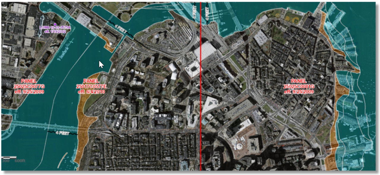
Flood Map as a Service

Enriched Data covers 3,142 counties in USA spread in 50 states.

Where | We cover 3,142 counties in USA spread in 50 states |
How to access | You can access the data by using
|
How can you use |
|

Enriched Data covers 3,142 counties in USA spread in 50 states.

Where | We cover 3,142 counties in USA spread in 50 states |
How to access | You can access the data by using
|
How can you use |
|